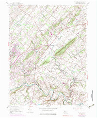
1953 Map of Buckingham
USGS Topo · Published 1974About this map
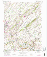
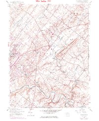
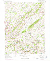
Buckingham Mountain and Little Buckingham Mtn rise above a landscape defined by traditional rural crossroad settlements and an evolving mid-century transport network. This 1953 survey, updated into the early 1970s, captures the historical core of Bucks County through established hubs like Buckingham and Doylestown. The Reading railroad corridor, including Bycot Sta, threads through the valley near Buckingham Valley, supporting the local agricultural and early suburban economy. Along the southern reaches, Neshaminy Creek carves a winding path past Bridge Valley and Rushland, where the terrain begins to flatten toward the coastal plain. Local heritage is deeply etched into the map through numerous community pillars, such as Friendship Sch, Solebury Ch, and the Plumstead Cem, which reflect the dense settlement patterns of these colonial-era townships. The presence of the Central Bucks County Municipal Airport signals the region's increasing accessibility during this postwar period.
Find a feature on this map
58 named features on this map. Tap any name to fly to it.
Don’t see what you’re looking for? This feature index may not catch every label — zoom into the map to look around manually.
Map Details
Editions of this 1953 Buckingham Map
7 editions found
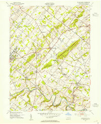
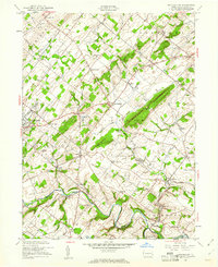
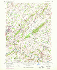
Other maps of this area

1890 · Lambertville
USGS Topo · 1:62,500

1890 · Doylestown
USGS Topo · 1:62,500

1890 · Burlington
USGS Topo · 1:62,500

1891 · Lambertville
USGS Topo · 1:62,500

1891 · Doylestown
USGS Topo · 1:62,500

1893 · Germantown
USGS Topo · 1:62,500

1893 · Burlington
USGS Topo · 1:62,500

1894 · Lambertville
USGS Topo · 1:62,500

1894 · Germantown
USGS Topo · 1:62,500

1896 · Germantown
USGS Topo · 1:62,500
Featured Places
- Warrington Township, PA
- Buckingham Township, PA
- Solebury Township, PA
- Doylestown, PA
- Wrightstown Township, PA