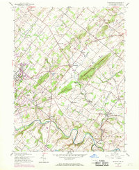
1953 Map of Buckingham
USGS Topo · Published 1969About this map
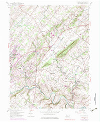
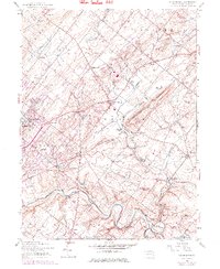
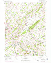
Buckingham Mountain and Little Buckingham Mtn anchor the center of this landscape, where the rural crossroads of Bucks County meet the early signs of suburban transition. The mid-century character of the area is evident in the survival of agrarian landmarks like the Buckingham Valley Mill alongside the expanding Central Bucks County Municipal Airport. The Reading railroad corridor cuts a diagonal path through the quadrangle, serving small communities like Wycombe and Rushland. Genealogists and local historians will find numerous rural institutions recorded here, from the Solebury Ch and Mt Gilead Ch to several district school buildings including Friendship Sch and Buckingham Sch. The complex network of creeks, such as Neshaminy Creek and Paunnacussing Creek, continues to dictate the local topography, even as modern infrastructure like the pipeline begins to cross the older township boundaries of Plumstead and Solebury.
Find a feature on this map
58 named features on this map. Tap any name to fly to it.
Don’t see what you’re looking for? This feature index may not catch every label — zoom into the map to look around manually.
Map Details
Editions of this 1953 Buckingham Map
7 editions found
Other maps of this area

1890 · Lambertville
USGS Topo · 1:62,500

1890 · Doylestown
USGS Topo · 1:62,500

1890 · Burlington
USGS Topo · 1:62,500

1891 · Lambertville
USGS Topo · 1:62,500

1891 · Doylestown
USGS Topo · 1:62,500

1893 · Germantown
USGS Topo · 1:62,500

1893 · Burlington
USGS Topo · 1:62,500

1894 · Lambertville
USGS Topo · 1:62,500

1894 · Germantown
USGS Topo · 1:62,500

1896 · Germantown
USGS Topo · 1:62,500
Featured Places
- Warrington Township, PA
- Buckingham Township, PA
- Solebury Township, PA
- Doylestown, PA
- Wrightstown Township, PA