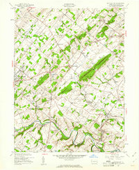
1953 Map of Buckingham
USGS Topo · Published 1961About this map
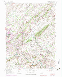
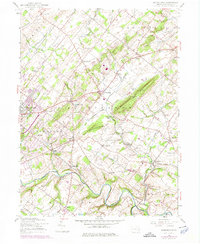
Buckingham Mountain and Little Buckingham Mtn dominate the central landscape of this mid-century survey, dividing the agricultural plains and established villages of central Bucks County. The Reading railroad cuts through the terrain, serving rural stops at Lahaska Sta and Bycot Sta. This network connects numerous hamlets including Mechanicsville, Holicong, and Lahaska, each serving as a local hub for the surrounding farmsteads.
Find a feature on this map
58 named features on this map. Tap any name to fly to it.
Don’t see what you’re looking for? This feature index may not catch every label — zoom into the map to look around manually.
Map Details
Editions of this 1953 Buckingham Map
7 editions found
Other maps of this area

1890 · Lambertville
USGS Topo · 1:62,500

1890 · Doylestown
USGS Topo · 1:62,500

1890 · Burlington
USGS Topo · 1:62,500

1891 · Lambertville
USGS Topo · 1:62,500

1891 · Doylestown
USGS Topo · 1:62,500

1893 · Germantown
USGS Topo · 1:62,500

1893 · Burlington
USGS Topo · 1:62,500

1894 · Lambertville
USGS Topo · 1:62,500

1894 · Germantown
USGS Topo · 1:62,500

1896 · Germantown
USGS Topo · 1:62,500
Featured Places
- Warrington Township, PA
- Buckingham Township, PA
- Solebury Township, PA
- Doylestown, PA
- Wrightstown Township, PA