
1947 Map of Buckingham Mtn
USGS Topo · Published 1964About this map
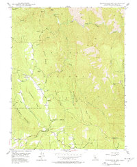
Jerseydale and the small settlement of Darrah anchor this mid-century look at the southern Sierra foothills, where the timber and mining economies of Mariposa County were still actively shaping the land. The terrain is defined by steep ridges like Portuguese Ridge and Snyder Ridge, falling away toward the South Fork Merced River in the north. Deep within the Sierra National Forest, the map records several Sawmill operations and the Mariposa Guard Sta, alongside evidence of earlier hard-rock ventures including the Early Mine and the Comet Mine (Aband). Local infrastructure is sparse, highlighted by the Buckingham Mtn Sch and a network of named gulches and creeks such as Snyder Gulch and Devil Gulch that provided water for early mountain homesteads and small-scale operations.
Find a feature on this map
40 named features on this map. Tap any name to fly to it.
Don’t see what you’re looking for? This feature index may not catch every label — zoom into the map to look around manually.
Map Details
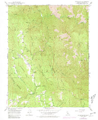
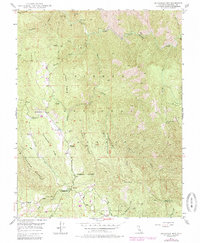
Editions of this 1947 Buckingham Mtn Map
5 editions found
Other maps of this area

1897 · Yosemite
USGS Topo · 1:125,000

1900 · Yosemite
USGS Topo · 1:125,000

1903 · Yosemite
USGS Topo · 1:125,000

1909 · Yosemite
USGS Topo · 1:125,000

1912 · Mariposa
USGS Topo · 1:125,000

1947 · Mariposa
USGS Topo · 1:24,000

1947 · El Portal
USGS Topo · 1:24,000

1947 · Mariposa
USGS Topo · 1:250,000

1947 · El Portal
USGS Topo · 1:62,500

1947 · Mariposa
USGS Topo · 1:62,500