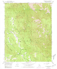
1947 Map of Buckingham Mtn
USGS Topo · Published 1981About this map
Jerseydale and Darrah serve as the primary human outposts in this 1947 topographical survey of the Sierra Nevada foothills. The landscape is defined by the steep descent toward the South Fork Merced River in the north and the headwaters of the Chowchilla River to the south. Local extraction history is visible through the presence of the Comet Mine and Early Mine, while the Mariposa Guard Sta indicates the region's management under the Sierra National Forest. The map captures a transition from the agricultural and settlement areas near Triangle Road to the high, ridged terrain of Snyder Ridge and Footman Ridge. Genealogists and local historians can locate the Buckingham Mtn Sch, a vital community marker situated near the base of its namesake Buckingham Mountain.
Find a feature on this map
37 named features on this map. Tap any name to fly to it.
Don’t see what you’re looking for? This feature index may not catch every label — zoom into the map to look around manually.
Map Details
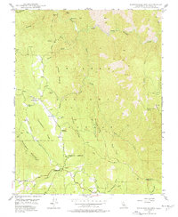
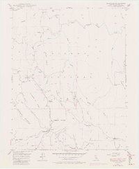
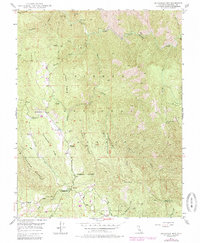
Editions of this 1947 Buckingham Mtn Map
5 editions found

Other maps of this area

1897 · Yosemite
USGS Topo · 1:125,000

1900 · Yosemite
USGS Topo · 1:125,000

1903 · Yosemite
USGS Topo · 1:125,000

1909 · Yosemite
USGS Topo · 1:125,000

1912 · Mariposa
USGS Topo · 1:125,000

1947 · Mariposa
USGS Topo · 1:24,000

1947 · El Portal
USGS Topo · 1:24,000

1947 · Mariposa
USGS Topo · 1:250,000

1947 · El Portal
USGS Topo · 1:62,500

1947 · Mariposa
USGS Topo · 1:62,500