
1950 Map of Bucklin
USGS Topo · Published 1950About this map
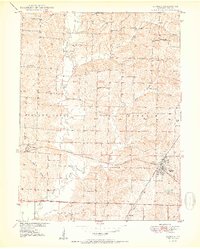
Bucklin serves as a central hub in this mid-century Missouri landscape, where the intersection of the Atchison Topeka and Santa Fe and the Chicago Burlington and Quincy railroads defined the local economy. The town's industrial footprint is marked by a Mine Dump just north of the rail lines, indicating the area's subterranean resources. To the west, the settlement of St Catherine sits along the southern edge of the rail corridor, surrounded by a network of rural schoolhouses such as Oakdale Sch and Carpenter Sch.
Find a feature on this map
23 named features on this map. Tap any name to fly to it.
Don’t see what you’re looking for? This feature index may not catch every label — zoom into the map to look around manually.
Map Details
Editions of this 1950 Bucklin Map
3 editions found
Other maps of this area

1946 · Brookfield
USGS Topo · 1:62,500

1948 · Brookfield
USGS Topo · 1:62,500

1949 · Rothville
USGS Topo · 1:24,000

1949 · Bucklin
USGS Topo · 1:24,000

1949 · Bucklin NW
USGS Topo · 1:24,000

1950 · New Cambria West
USGS Topo · 1:24,000

1950 · Rothville
USGS Topo · 1:24,000

1950 · Bucklin NW
USGS Topo · 1:24,000

1951 · New Boston
USGS Topo · 1:24,000

1953 · Moberly
USGS Topo · 1:250,000