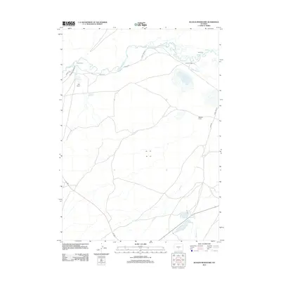
2012 Map of Bucklin Reservoirs
USGS Topo · Published 2012About this map
Oregon Trl and the California Emigrant Rd traverse the northern landscape of this region, following the winding course of the Sweetwater River. This 2012 survey illustrates the enduring legacy of western migration routes alongside modern ranching operations and water management. Local landmarks like Cross L Ranch and Turkey Track Ranch are central to the area's identity, with irrigation systems such as Turkey Track Ditch and the Y Z Ditch drawing from the river and smaller tributaries like Willow Cr. In the south, the namesake Bucklin Reservoirs collect drainage from Muddy Cr and Whiskey Cr, supporting the arid high plains. Distinctive features like the mineral-heavy Soda Lake and deep seasonal drainages such as Rawlins Draw and Dry Draw define the topography of this high-country basin.
Find a feature on this map
21 named features on this map. Tap any name to fly to it.
Don’t see what you’re looking for? This feature index may not catch every label — zoom into the map to look around manually.
Map Details
Editions of this 2012 Bucklin Reservoirs Map
This is the sole edition of this map. No revisions or reprints were ever made.
Other maps of this area

1951 · Savage Peak
USGS Topo · 1:24,000

1951 · Bucklin Reservoirs
USGS Topo · 1:24,000

1951 · Lone Mountain
USGS Topo · 1:24,000

1951 · Split Rock
USGS Topo · 1:24,000

1951 · Lankin Dome
USGS Topo · 1:24,000

1955 · Casper
USGS Topo · 1:250,000

1958 · Casper
USGS Topo · 1:250,000

1959 · Miller Spring
USGS Topo · 1:24,000

1962 · Casper
USGS Topo · 1:250,000

1962 · Whiskey Peak
USGS Topo · 1:24,000