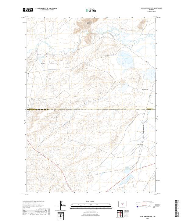
2021 Map of Bucklin Reservoirs
USGS Topo · Published 2021About this map
The Oregon Trl and California Emigrant Rd converge in this high-plains landscape, marking the enduring paths of 19th-century westward migration across the Wyoming interior. This 2021 survey documents the intersection of historical transit and modern ranching infrastructure along the boundary of Natrona and Carbon Counties. The Sweetwater River meanders through the northern section, feeding irrigation systems like the Turkey Track Ditch and the Y-Z Ditch which support the arid surroundings. Cultural features are defined by water management and topography, from the prominent Sweetwater Rocks to the namesake Bucklin Reservoirs and the alkaline waters of Soda Lake. Genealogists and historians can trace the relationship between these ancient wagon trails and established water sources like Crane Reservoir and Whiskey Cr that have sustained this remote high-desert region for generations.
Find a feature on this map
22 named features on this map. Tap any name to fly to it.
Don’t see what you’re looking for? This feature index may not catch every label — zoom into the map to look around manually.
Map Details
Editions of this 2021 Bucklin Reservoirs Map
This is the sole edition of this map. No revisions or reprints were ever made.
Other maps of this area

1951 · Savage Peak
USGS Topo · 1:24,000

1951 · Bucklin Reservoirs
USGS Topo · 1:24,000

1951 · Lone Mountain
USGS Topo · 1:24,000

1951 · Split Rock
USGS Topo · 1:24,000

1951 · Lankin Dome
USGS Topo · 1:24,000

1955 · Casper
USGS Topo · 1:250,000

1958 · Casper
USGS Topo · 1:250,000

1959 · Miller Spring
USGS Topo · 1:24,000

1962 · Casper
USGS Topo · 1:250,000

1962 · Whiskey Peak
USGS Topo · 1:24,000