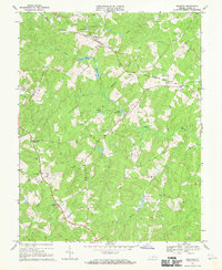
1968 Map of Buckner
USGS Topo · Published 1970About this map
The Chesapeake and Ohio railroad corridor anchors the northern reach of this Louisa County landscape, connecting the rural centers of Fredericks Hall and Buckner. This era of the late 1960s shows a region defined by its water-powered history and dispersed community hubs, where small crossroads like Gardners Crossroads and Threemile Corner mark the intersections of rural life. Numerous small family cemeteries and country churches, including Rising Sun Ch, Bethpage Ch, and Watchtower Ch, are scattered across the terrain, serving as vital landmarks for genealogical research.
Find a feature on this map
31 named features on this map. Tap any name to fly to it.
Don’t see what you’re looking for? This feature index may not catch every label — zoom into the map to look around manually.
Map Details
Editions of this 1968 Buckner Map
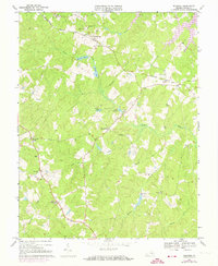
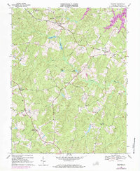
3 editions found
Other maps of this area

1887 · Spottsylvania
USGS Topo · 1:125,000

1890 · Goochland
USGS Topo · 1:125,000

1892 · Spottsylvania
USGS Topo · 1:125,000

1892 · Goochland
USGS Topo · 1:125,000

1942 · Mineral
USGS Topo · 1:31,680

1942 · Partlow
USGS Topo · 1:31,680

1942 · Contrary Creek
USGS Topo · 1:31,680

1942 · Pendleton
USGS Topo · 1:24,000

1942 · Buckner
USGS Topo · 1:24,000

1942 · Beaverdam
USGS Topo · 1:24,000