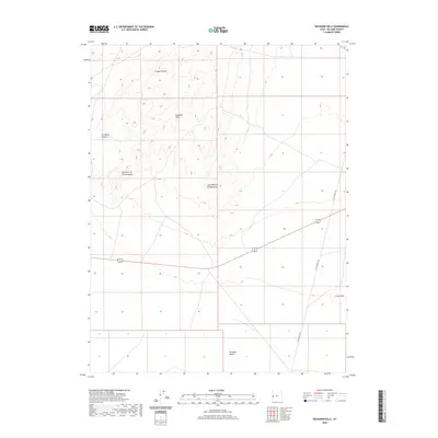
2020 Map of Buckskin Hills
USGS Topo · Published 2020About this map
The Conger Range and Buckskin Hills dominate this high-desert landscape in Millard County, where the transition from mountain slopes to the Ferguson Desert creates a distinct topographical profile. The map documents specific landform landmarks such as the Mid Point of the Buckskins and Long Point of the Buckskins, which serve as navigational anchors in an area defined by sparse infrastructure. Human impact is centered on the corridor provided by Little Valley Rd, which skirts the eastern edge of the hills near the prominent height of the Crows Nest. The survey also captures the drainage patterns emerging from Livingston Canyon, illustrating the relationship between the elevated ranges and the arid basins below.
Find a feature on this map
8 named features on this map. Tap any name to fly to it.
Don’t see what you’re looking for? This feature index may not catch every label — zoom into the map to look around manually.
Map Details
Editions of this 2020 Buckskin Hills Map
This is the sole edition of this map. No revisions or reprints were ever made.
Other maps of this area

1908 · Fish Springs
USGS Topo · 1:250,000

1910 · Fish Springs
USGS Topo · 1:250,000

1953 · Richfield
USGS Topo · 1:250,000

1953 · Delta
USGS Topo · 1:250,000

1958 · Richfield
USGS Topo · 1:250,000

1958 · Delta
USGS Topo · 1:250,000

1960 · Conger Range
USGS Topo · 1:62,500

1960 · Burbank Hills
USGS Topo · 1:62,500

1960 · Crystal Peak
USGS Topo · 1:62,500

1960 · Conger Mountain
USGS Topo · 1:62,500