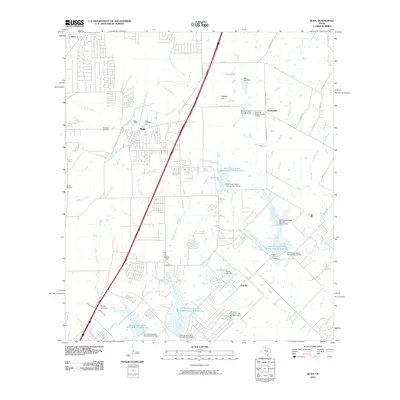
2010 Map of Buda
USGS Topo · Published 2010About this map
Buda sits as the central hub of this Central Texas landscape, where the growing residential patterns of the early 21st century meet long-standing agricultural and family landmarks. The historical imprint of the region is preserved in several burial grounds, including the Antioch Cemetery and Allen Cemetery near the town center, as well as the Barton Cemetery to the west. The terrain is defined by the winding course of Onion Creek and its many tributaries like Garlic Creek and Mustang Branch, while the eastern portion of the quadrangle shows a sophisticated network of water management features such as the Soil Conservation Service Site 12 Reservoir and Heep Lake. Traces of older transit corridors remain visible, specifically the Old San Antonio Rd, which runs parallel to the modern highway system, connecting the community to smaller settlements like Turnersville and Goforth.
Find a feature on this map
50 named features on this map. Tap any name to fly to it.
Don’t see what you’re looking for? This feature index may not catch every label — zoom into the map to look around manually.
Map Details
Editions of this 2010 Buda Map
This is the sole edition of this map. No revisions or reprints were ever made.
Other maps of this area

1896 · Austin
USGS Topo · 1:125,000

1897 · Austin
USGS Topo · 1:125,000

1910 · Austin
USGS Topo · 1:125,000

1911 · San Marcos
USGS Topo · 1:125,000

1919 · San Marcos
USGS Topo · 1:125,000

1930 · Lockhart
USGS Topo · 1:62,500

1953 · Seguin
USGS Topo · 1:250,000

1954 · Austin
USGS Topo · 1:250,000

1955 · Montopolis
USGS Topo · 1:24,000

1955 · Oak Hill
USGS Topo · 1:24,000