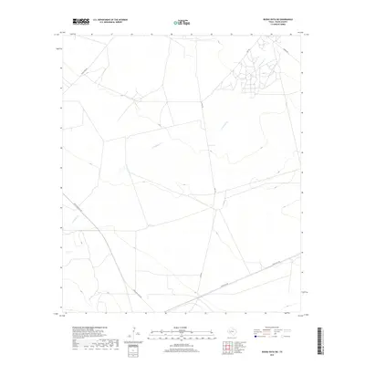
2019 Map of Buena Vista SW
USGS Topo · Published 2019About this map
Comanche Cr winds through this arid section of Pecos County, tracing a diagonal path across a landscape defined by industrial and ranching transport routes. In the late twenty-teens, the area's infrastructure supported energy and agricultural operations, evidenced by the convergence of Texas Gulf Plant Rd and Gulf Plant Rd. These corridors, along with Gulf Rd, create a distinct grid-like network of utility and access ways over the West Texas terrain. The map captures a moment of modern development where established routes like Buena Vista Rd and the northern Owego Rd connect disparate points in the high desert, serving as critical landmarks for navigating the sparsely populated region south of the Pecos River.
Find a feature on this map
6 named features on this map. Tap any name to fly to it.
Don’t see what you’re looking for? This feature index may not catch every label — zoom into the map to look around manually.
Map Details
Editions of this 2019 Buena Vista SW Map
This is the sole edition of this map. No revisions or reprints were ever made.
Other maps of this area

1921 · Fort Stockton
USGS Topo · 1:62,500

1923 · Fort Stockton
USGS Topo · 1:62,500

1928 · Comanche Spring
USGS Topo · 1:125,000

1954 · Pecos
USGS Topo · 1:250,000

1954 · Fort Stockton
USGS Topo · 1:250,000

1957 · Pecos
USGS Topo · 1:250,000

1958 · Fort Stockton
USGS Topo · 1:250,000

1970 · East Mesa
USGS Topo · 1:24,000
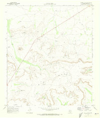
1970 · Saddle Butte
USGS Topo · 1:24,000
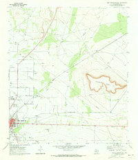
1970 · Fort Stockton East
USGS Topo · 1:24,000