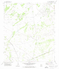
1972 Map of Buena Vista SW
USGS Topo · Published 1974About this map
The energy-rich landscape of West Texas is defined by the extensive Fromme Oil Field and the nearby Masterson Oil Field in this 1971 study. The terrain is a network of industrial infrastructure, characterized by numerous Oil Wells, Drill Holes, and a significant Pipeline cutting through the arid plains. These extraction sites are clustered around the drainage of Comanche Creek, illustrating the intersection of natural hydrology and the 20th-century oil boom.
Find a feature on this map
14 named features on this map. Tap any name to fly to it.
Don’t see what you’re looking for? This feature index may not catch every label — zoom into the map to look around manually.
Map Details
Editions of this 1972 Buena Vista SW Map
This is the sole edition of this map. No revisions or reprints were ever made.
Other maps of this area

1921 · Fort Stockton
USGS Topo · 1:62,500

1923 · Fort Stockton
USGS Topo · 1:62,500

1928 · Comanche Spring
USGS Topo · 1:125,000

1954 · Pecos
USGS Topo · 1:250,000

1954 · Fort Stockton
USGS Topo · 1:250,000

1957 · Pecos
USGS Topo · 1:250,000

1958 · Fort Stockton
USGS Topo · 1:250,000

1970 · East Mesa
USGS Topo · 1:24,000
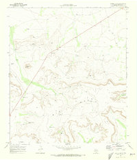
1970 · Saddle Butte
USGS Topo · 1:24,000
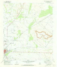
1970 · Fort Stockton East
USGS Topo · 1:24,000