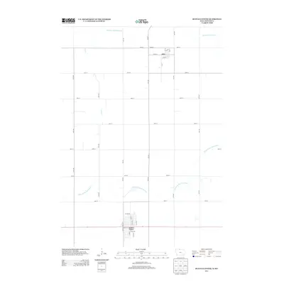
2013 Map of Buffalo Center
USGS Topo · Published 2013About this map
Buffalo Center and Rake anchor this Northern Iowa landscape, where the agricultural grid of Winnebago County meets the meandering paths of the Middle Br Blue Earth River. The map reveals a highly engineered hydraulic environment, defined by a network of drainage infrastructure like Drainage Ditch Number 21 and Drainage Ditch Number 64, which support the region's productive farmland. The precision of the 2011 NAIP imagery and 2012 GNIS data captures the distinct street layouts of these small rural hubs, from the north-south orientation of N Main St in Buffalo Center to the neighborhood streets around Grace St in Rake. Smaller waterways such as Coon Cr cut across the geometric sections, illustrating the persistent interaction between the natural watershed and the human-designed township system.
Find a feature on this map
34 named features on this map. Tap any name to fly to it.
Don’t see what you’re looking for? This feature index may not catch every label — zoom into the map to look around manually.
Map Details
Editions of this 2013 Buffalo Center Map
This is the sole edition of this map. No revisions or reprints were ever made.
Other maps of this area

1954 · Fairmont
USGS Topo · 1:250,000

1954 · Mason City
USGS Topo · 1:250,000

1955 · Bricelyn
USGS Topo · 1:62,500

1957 · Mason City
USGS Topo · 1:250,000

1958 · Mason City
USGS Topo · 1:250,000

1958 · Fairmont
USGS Topo · 1:250,000

1967 · Elmore
USGS Topo · 1:24,000

1972 · German Valley
USGS Topo · 1:24,000

1972 · Buffalo Center
USGS Topo · 1:24,000

1972 · Buffalo Center SW
USGS Topo · 1:24,000