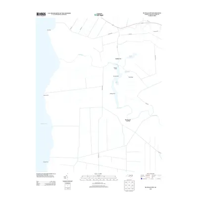
2013 Map of Buffalo City
USGS Topo · Published 2013About this map
The Alligator River coastline and the intricate marshlands of Dare County are documented here, centered on the historic site of Buffalo City. This area is defined by a complex network of waterways, including the meandering Long Stretch and the tidal inlet of Sandy Ridge Gut. The landscape transitions from the river's edge at Bay Point and Cypress Point into a terrain marked by family-named landmarks and navigational points like Buzzard Roost and Raccoon Point.
Find a feature on this map
25 named features on this map. Tap any name to fly to it.
Don’t see what you’re looking for? This feature index may not catch every label — zoom into the map to look around manually.
Map Details
Editions of this 2013 Buffalo City Map
This is the sole edition of this map. No revisions or reprints were ever made.
Other maps of this area

1943 · Columbia
USGS Topo · 1:125,000

1943 · Roanoke Island
USGS Topo · 1:125,000

1953 · Engelhard NW
USGS Topo · 1:24,000

1953 · Buffalo City
USGS Topo · 1:24,000

1953 · Fairfield NE
USGS Topo · 1:24,000

1953 · East Lake SE
USGS Topo · 1:24,000

1953 · Manns Harbor
USGS Topo · 1:24,000
1953 · East Lake
USGS Topo · 1:24,000

1953 · Engelhard NE
USGS Topo · 1:24,000

1953 · Frying Pan
USGS Topo · 1:24,000