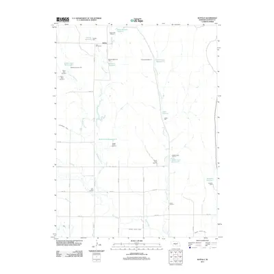
2011 Map of Buffalo
USGS Topo · Published 2011About this map
The small settlement of Buffalo is the focal point of this agricultural landscape in Dawson County, where the plains are defined by an intricate network of water management. To support regional farming, the terrain is crisscrossed by major irrigation works like the Gothenburg Canal and the Dawson County Canal. Numerous small-scale water projects, including Buckley Reservoir, Mustard Reservoir, and Jessen Reservoir, dot the countryside along the drainages of Buffalo Creek and French Creek. For genealogists and local historians, the map provides precise locations for family and community landmarks such as Rose Hill Cemetery to the north, Saint Johns Cemetery in the southwest, and Hillside Cemetery near the county canal, each serving as a marker of the area's rural heritage and early settlement patterns.
Find a feature on this map
44 named features on this map. Tap any name to fly to it.
Don’t see what you’re looking for? This feature index may not catch every label — zoom into the map to look around manually.
Map Details
Editions of this 2011 Buffalo Map
This is the sole edition of this map. No revisions or reprints were ever made.
Other maps of this area

1896 · Lexington
USGS Topo · 1:125,000

1899 · Lexington
USGS Topo · 1:125,000

1951 · Oconto SW
USGS Topo · 1:24,000

1951 · Oconto SE
USGS Topo · 1:24,000

1951 · Eddyville SW
USGS Topo · 1:24,000

1955 · Broken Bow
USGS Topo · 1:250,000

1955 · Grand Island
USGS Topo · 1:250,000

1956 · Broken Bow
USGS Topo · 1:250,000

1957 · Grand Island
USGS Topo · 1:250,000

1958 · Grand Island
USGS Topo · 1:250,000