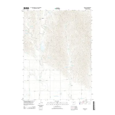
2014 Map of Buffalo
USGS Topo · Published 2014About this map
The settlement of Buffalo serves as the focal point for this Dawson County landscape, where the agricultural economy is defined by a sophisticated network of water management. The southern portion of the quadrangle is dominated by large-scale irrigation projects, specifically the Gothenburg Canal and the Dawson County Canal, which carve through the plains to support local farming. To the north, the terrain is characterized by numerous catchment areas and reservoirs such as Buckley Reservoir, Neben Reservoir Number 2, and Peden Reservoir Number 1, illustrating the intensive modification of natural drainages like Buffalo Creek and French Creek.
Find a feature on this map
36 named features on this map. Tap any name to fly to it.
Don’t see what you’re looking for? This feature index may not catch every label — zoom into the map to look around manually.
Map Details
Editions of this 2014 Buffalo Map
This is the sole edition of this map. No revisions or reprints were ever made.
Other maps of this area

1896 · Lexington
USGS Topo · 1:125,000

1899 · Lexington
USGS Topo · 1:125,000

1951 · Oconto SW
USGS Topo · 1:24,000

1951 · Oconto SE
USGS Topo · 1:24,000

1951 · Eddyville SW
USGS Topo · 1:24,000

1955 · Broken Bow
USGS Topo · 1:250,000

1955 · Grand Island
USGS Topo · 1:250,000

1956 · Broken Bow
USGS Topo · 1:250,000

1957 · Grand Island
USGS Topo · 1:250,000

1958 · Grand Island
USGS Topo · 1:250,000