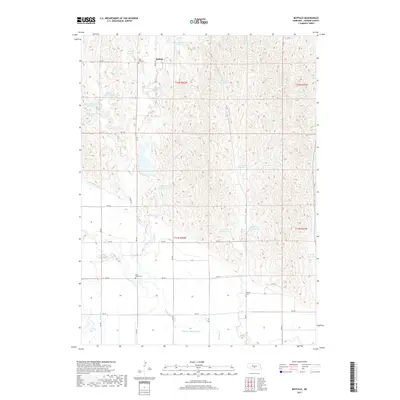
2017 Map of Buffalo
USGS Topo · Published 2017About this map
Buffalo sits at the northern edge of this Dawson County landscape, characterized by a sophisticated network of irrigation and water management systems. The terrain is defined by the winding paths of Buffalo Cr and French Cr, which feed numerous local impoundments such as Buckley Reservoir and Jessen Reservoir. This water-driven economy is further evidenced by the Gothenburg Canal and Dawson County Canal, which cut through the southern reaches of the quadrangle. For those tracing local heritage, several burial grounds are scattered across the section lines, including Saint Johns Cem near the center of the sheet and Rose Hill Cem to the north. The map reflects a rural Nebraska agricultural district where the natural hydrology of Spring Cr and W Buffalo Cr has been carefully harnessed to support the surrounding farmland.
Find a feature on this map
40 named features on this map. Tap any name to fly to it.
Don’t see what you’re looking for? This feature index may not catch every label — zoom into the map to look around manually.
Map Details
Editions of this 2017 Buffalo Map
This is the sole edition of this map. No revisions or reprints were ever made.
Other maps of this area

1896 · Lexington
USGS Topo · 1:125,000

1899 · Lexington
USGS Topo · 1:125,000

1951 · Oconto SW
USGS Topo · 1:24,000

1951 · Oconto SE
USGS Topo · 1:24,000

1951 · Eddyville SW
USGS Topo · 1:24,000

1955 · Broken Bow
USGS Topo · 1:250,000

1955 · Grand Island
USGS Topo · 1:250,000

1956 · Broken Bow
USGS Topo · 1:250,000

1957 · Grand Island
USGS Topo · 1:250,000

1958 · Grand Island
USGS Topo · 1:250,000