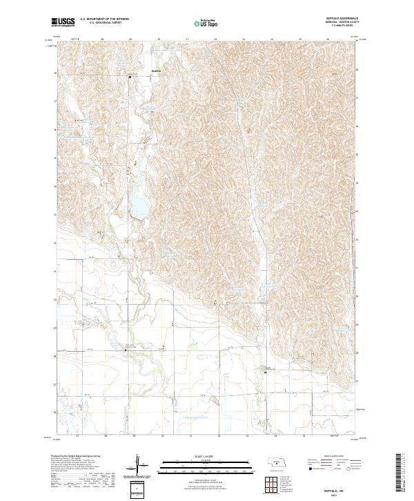
2021 Map of Buffalo
USGS Topo · Published 2021About this map
Buffalo and the surrounding rangelands of Dawson County are defined by a complex network of water management features and rural community centers. The northern portion of the quadrangle is marked by an intensive distribution of catchment basins, including Buckley Reservoir, Mustard Reservoir, and Neben Reservoir Number 2, reflecting the essential role of water storage in this Nebraska landscape. To the south, the Dawson County Canal cuts across the terrain, indicating the transition toward more concentrated agricultural irrigation. Genealogy and local history researchers will find significant markers of the area's pioneer heritage through several well-preserved sites, such as Rose Hill Cem near Buffalo, and the religious anchors of Saint Johns Lutheran Cem and Hillside Lutheran Cem. The terrain is also dissected by numerous drainages like Spring Cr, which feed into the varied reservoir systems that support the local ranching and farming economy.
Find a feature on this map
38 named features on this map. Tap any name to fly to it.
Don’t see what you’re looking for? This feature index may not catch every label — zoom into the map to look around manually.
Map Details
Editions of this 2021 Buffalo Map
This is the sole edition of this map. No revisions or reprints were ever made.
Other maps of this area

1896 · Lexington
USGS Topo · 1:125,000

1899 · Lexington
USGS Topo · 1:125,000

1951 · Oconto SW
USGS Topo · 1:24,000

1951 · Oconto SE
USGS Topo · 1:24,000

1951 · Eddyville SW
USGS Topo · 1:24,000

1955 · Broken Bow
USGS Topo · 1:250,000

1955 · Grand Island
USGS Topo · 1:250,000

1956 · Broken Bow
USGS Topo · 1:250,000

1957 · Grand Island
USGS Topo · 1:250,000

1958 · Grand Island
USGS Topo · 1:250,000