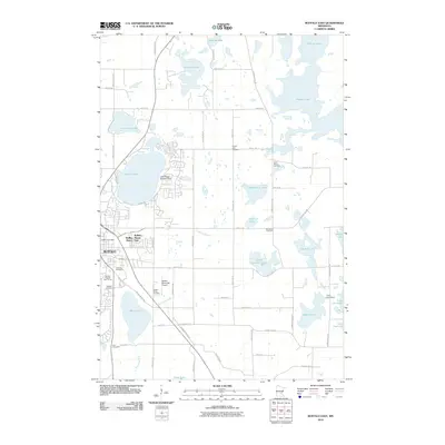
2010 Map of Buffalo East
USGS Topo · Published 2010About this map
Buffalo serves as the focal point of this lakeside landscape, anchored by its residential expansions at Buffalo Manor and Buffalo Manor East. The area’s aviation history is represented by both the Buffalo Municipal Airport and the specialized Lake Pulaski Seaplane Base on the shores of Lake Pulaski. Local heritage is deeply rooted in several community grounds, including the Lakeview Cemetery, Mission Cemetery, and Zion Cemetery, alongside the Buffalo Rodeo Grounds and Buffalo Heights Golf Course. The terrain is defined by a dense network of glacial water bodies like Pelican Lake, Mary Lake, and Lake Charlotte. To the east, Camp Greenwood occupies a prominent position near Moore Lake, while the rural character is maintained through scattered cemeteries like Saint Marks Cemetery and Immanuel Cemetery that mark the intersections of the county's established road grid.
Find a feature on this map
68 named features on this map. Tap any name to fly to it.
Don’t see what you’re looking for? This feature index may not catch every label — zoom into the map to look around manually.
Map Details
Editions of this 2010 Buffalo East Map
This is the sole edition of this map. No revisions or reprints were ever made.
Other maps of this area

1909 · Rockford
USGS Topo · 1:62,500

1953 · Stillwater
USGS Topo · 1:250,000

1955 · Stillwater
USGS Topo · 1:250,000

1958 · Stillwater
USGS Topo · 1:250,000

1958 · Rockford
USGS Topo · 1:62,500

1958 · Buffalo
USGS Topo · 1:62,500

1961 · Big Lake
USGS Topo · 1:24,000

1961 · Silver Creek
USGS Topo · 1:24,000

1961 · Monticello
USGS Topo · 1:24,000

1961 · Monticello
USGS Topo · 1:62,500