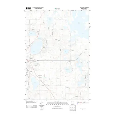
2013 Map of Buffalo East
USGS Topo · Published 2013About this map
Buffalo serves as the focal point for this landscape, which is defined by an intricate network of glacial lakes and small-scale agriculture. The settlement area expands into residential pockets like Bufflao Manor, while cultural sites such as Saint Marks Cem and Immanuel Cem are scattered across the rural township grid. The local economy and recreation are visible through features like the Buffalo Rodeo Grounds and the Buffalo Municipal Airport, located south of the main town center.
Find a feature on this map
74 named features on this map. Tap any name to fly to it.
Don’t see what you’re looking for? This feature index may not catch every label — zoom into the map to look around manually.
Map Details
Editions of this 2013 Buffalo East Map
This is the sole edition of this map. No revisions or reprints were ever made.
Other maps of this area

1909 · Rockford
USGS Topo · 1:62,500

1953 · Stillwater
USGS Topo · 1:250,000

1955 · Stillwater
USGS Topo · 1:250,000

1958 · Stillwater
USGS Topo · 1:250,000

1958 · Rockford
USGS Topo · 1:62,500

1958 · Buffalo
USGS Topo · 1:62,500

1961 · Big Lake
USGS Topo · 1:24,000

1961 · Silver Creek
USGS Topo · 1:24,000

1961 · Monticello
USGS Topo · 1:24,000

1961 · Monticello
USGS Topo · 1:62,500