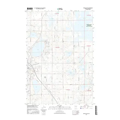
2016 Map of Buffalo East
USGS Topo · Published 2016About this map
Buffalo serves as the primary hub in this portion of Wright County, where the street grid expands between Buffalo Lake and Lake Pulaski. The landscape is defined by its dense concentration of glacial basins, including large water bodies like Pelican Lake and the Wright County Waterfowl Production Area, which signal the region's importance for conservation and local recreation. For those tracing family lineages, several rural burying grounds are documented, such as Pelican Lake Cem, Saint Marks Cem, and Immanuel Cem, alongside the Lakeview Cem closer to the town center.
Find a feature on this map
60 named features on this map. Tap any name to fly to it.
Don’t see what you’re looking for? This feature index may not catch every label — zoom into the map to look around manually.
Map Details
Editions of this 2016 Buffalo East Map
This is the sole edition of this map. No revisions or reprints were ever made.
Other maps of this area

1909 · Rockford
USGS Topo · 1:62,500

1953 · Stillwater
USGS Topo · 1:250,000

1955 · Stillwater
USGS Topo · 1:250,000

1958 · Stillwater
USGS Topo · 1:250,000

1958 · Rockford
USGS Topo · 1:62,500

1958 · Buffalo
USGS Topo · 1:62,500

1961 · Big Lake
USGS Topo · 1:24,000

1961 · Silver Creek
USGS Topo · 1:24,000

1961 · Monticello
USGS Topo · 1:24,000

1961 · Monticello
USGS Topo · 1:62,500