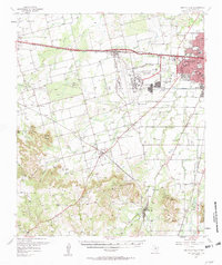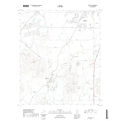
1984 Map of Buffalo Gap
USGS Topo · Published 1984About this map
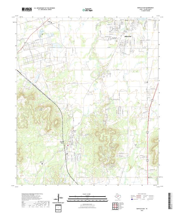
Buffalo Gap sits at the base of the prominent Callahan Divide, a topographical ridge system that dominates the southern portion of this mid-1980s Texas landscape. The map provides a detailed look at the interface between the growing Abilene Corporate Boundary and the rural hills of Taylor County, showing early residential expansion near Wylie and the community of Caps. Water management and transportation are central to the area's development, evidenced by the Buffalo Gap Pumping Station and an extensive network of underground pipelines cutting across the terrain. Local recreation and history are anchored by Abilene State Park and the Road Side Park at Cedar Gap, while the presence of several Gravel Pits and a Cem near the foothills points to the working-class and generational roots of the valley.
Find a feature on this map
20 named features on this map. Tap any name to fly to it.
Don’t see what you’re looking for? This feature index may not catch every label — zoom into the map to look around manually.
Map Details
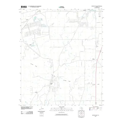
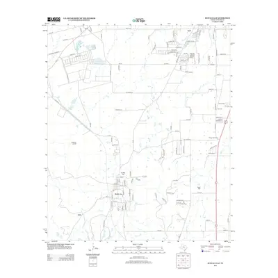
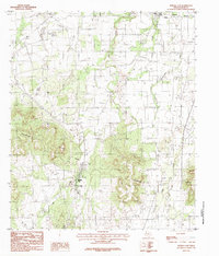
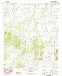
Editions of this 1984 Buffalo Gap Map
2 editions found
Historical Maps of Abilene Through Time
7 maps found