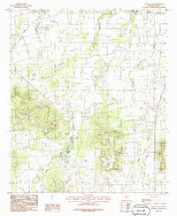
1984 Map of Buffalo Gap
USGS Topo · Published 1986About this map
Buffalo Gap sits at the base of the dramatic Callahan Divide, a prominent geologic break that separates the lower plains to the north from the elevated terrain of the southern part of the quadrangle. As of this mid-1970s survey, the area reflects a transitional landscape between the growing urban edge of Abilene and the rural ranching country of Taylor County. The northern edge of the map shows the encroaching Corporate Boundary near Wylie and Caps, while the central and southern portions are defined by drainage networks like Elm Creek and Catclaw Creek. The intricate contour lines around Cedar Divide and various unnamed but topographically distinct knobs illustrate the complex erosion patterns characteristic of this part of Texas. Industrial and municipal footprints are visible through several Gravel Pits, a Pumping Station, and an Underground Pipeline traversing the central valley.
Find a feature on this map
22 named features on this map. Tap any name to fly to it.
Don’t see what you’re looking for? This feature index may not catch every label — zoom into the map to look around manually.
Map Details
Editions of this 1984 Buffalo Gap Map
2 editions found
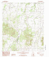
Other maps of this area

1890 · Abilene
USGS Topo · 1:125,000

1892 · Abilene
USGS Topo · 1:125,000

1954 · Abilene
USGS Topo · 1:250,000

1957 · Kirby Lake
USGS Topo · 1:62,500

1957 · Abilene West
USGS Topo · 1:24,000

1957 · Abilene East
USGS Topo · 1:24,000

1957 · Buffalo Gap
USGS Topo · 1:62,500

1958 · Abilene
USGS Topo · 1:250,000

1967 · Tuscola
USGS Topo · 1:24,000
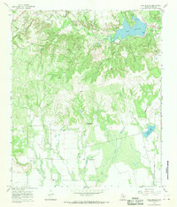
1967 · Lake Abilene
USGS Topo · 1:24,000