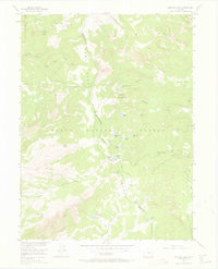
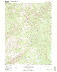
1955 Map of Buffalo Pass
USGS Topo · Published 1970About this map
The Continental Divide bisects this high-elevation landscape, forming the boundary between Jackson and Routt counties. The 1955 survey highlights the remote character of the Park Range as it appeared shortly after the war, showing a network of high-country routes including the Wyoming Trail and several unmaintained pack trails. These paths connect significant alpine basins and landmarks such as Horse Thief Park and Newcomb Park, while the Summit Lake Guard Sta marks a key human outpost in the backcountry.
Find a feature on this map
43 named features on this map. Tap any name to fly to it.
Don’t see what you’re looking for? This feature index may not catch every label — zoom into the map to look around manually.
Map Details
Editions of this 1955 Buffalo Pass Map
6 editions found
Other maps of this area

1911 · Hahns Peak
USGS Topo · 1:125,000

1913 · Hahns Peak
USGS Topo · 1:125,000

1954 · Craig
USGS Topo · 1:250,000

1955 · Buffalo Pass
USGS Topo · 1:24,000

1955 · Pitchpine Mountain
USGS Topo · 1:24,000

1955 · Mount Ethel
USGS Topo · 1:24,000

1955 · Teal Lake
USGS Topo · 1:24,000

1955 · Mount Ethel
USGS Topo · 1:62,500

1956 · Rabbit Ears Peak
USGS Topo · 1:24,000

1956 · Storm Mountain
USGS Topo · 1:24,000