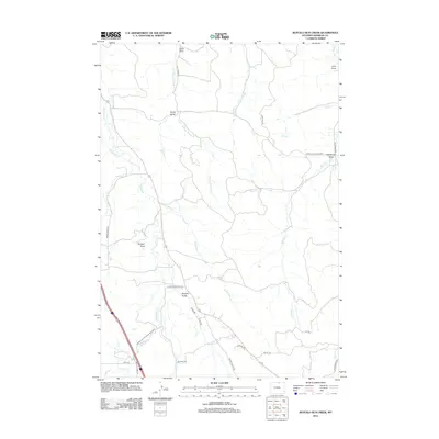
2012 Map of Buffalo Run Creek
USGS Topo · Published 2012About this map
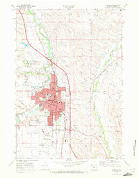
Buffalo Run Creek and its complex network of tributaries define this Sheridan County landscape as it appeared in the early 21st century. The drainage patterns of the high plains are clearly visible through numerous named topographic features, including several distinct draws such as Lewis Draw, John Draw, and the curiously named Hamburger Draw. The engineering of the local cattle and agricultural country is evident in the Ninemile Ditch and a grid of rural access roads like Upper Cat Road and Dow-Dutch Creek Road West.
Find a feature on this map
34 named features on this map. Tap any name to fly to it.
Don’t see what you’re looking for? This feature index may not catch every label — zoom into the map to look around manually.
Map Details
Editions of this 2012 Buffalo Run Creek Map
This is the sole edition of this map. No revisions or reprints were ever made.
Other maps of this area

1909 · Sheridan
USGS Topo · 1:125,000

1911 · Sheridan
USGS Topo · 1:125,000

1955 · Sheridan
USGS Topo · 1:250,000

1958 · Sheridan
USGS Topo · 1:250,000

1962 · Sheridan
USGS Topo · 1:250,000

1967 · Buffalo Run Creek
USGS Topo · 1:24,000
1967 · Story
USGS Topo · 1:24,000
1967 · Big Horn
USGS Topo · 1:24,000
1967 · Banner
USGS Topo · 1:24,000
1968 · Sheridan
USGS Topo · 1:24,000