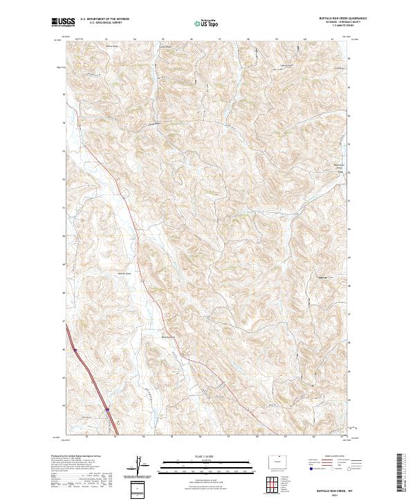
2021 Map of Buffalo Run Creek
USGS Topo · Published 2021About this map
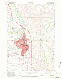
Buffalo Run Cr and its tributaries define the undulating terrain of this Sheridan County landscape. The area is characterized by a network of drainage features like Duncan Draw, Sandy Draw, and Murphy Gulch, which carved through the high plains. Human activity is centered on the management of water and transportation, seen in the path of the Ninemile Ditch and a grid of rural roads including Murphy Gulch Rd and Upper Prairie Dog Rd. The presence of the Painted Hills in the northwest corner adds a distinctive geographical landmark to this ranching country. The map illustrates a landscape shaped by intermittent water sources and the practical requirements of high-country land management, where small draws like Hamburger Draw and Lewis Draw are as vital to the local geography as the larger creeks.
Find a feature on this map
42 named features on this map. Tap any name to fly to it.
Don’t see what you’re looking for? This feature index may not catch every label — zoom into the map to look around manually.
Map Details
Editions of this 2021 Buffalo Run Creek Map
This is the sole edition of this map. No revisions or reprints were ever made.
Other maps of this area

1909 · Sheridan
USGS Topo · 1:125,000

1911 · Sheridan
USGS Topo · 1:125,000

1955 · Sheridan
USGS Topo · 1:250,000

1958 · Sheridan
USGS Topo · 1:250,000

1962 · Sheridan
USGS Topo · 1:250,000

1967 · Buffalo Run Creek
USGS Topo · 1:24,000
1967 · Story
USGS Topo · 1:24,000
1967 · Big Horn
USGS Topo · 1:24,000
1967 · Banner
USGS Topo · 1:24,000
1968 · Sheridan
USGS Topo · 1:24,000