
1962 Map of Buffalo Springs
USGS Topo · Published 1964About this map
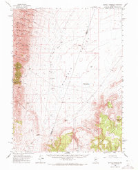
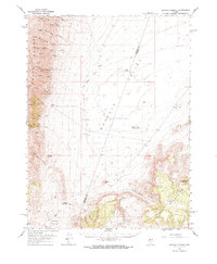
Buffalo Valley dominates this high-desert landscape, serving as a vast basin between the high peaks of the Tobin Range to the west and the Fish Creek Mountains to the southeast. Settled activity is concentrated at isolated outposts such as Buffalo Ranch, Indian Ranch, and the Anderson Homestead, highlighting the sparse, ranch-oriented economy of northern Nevada in the early 1960s. A notable geothermal feature, the Buffalo Valley Hot Springs, is located near the center of the valley, while higher elevations are marked by distinctive landmarks like Squaw Tit and Pinnacle Mtn. The map records a network of rugged Jeep Trails and unnamed trails that connect these remote homesteads through steep drainages like Blue Lead Canyon and Wild Horse Canyon, crossing the divide at Jersey Summit.
Find a feature on this map
33 named features on this map. Tap any name to fly to it.
Don’t see what you’re looking for? This feature index may not catch every label — zoom into the map to look around manually.
Map Details
Editions of this 1962 Buffalo Springs Map
3 editions found
Other maps of this area

1932 · Sonoma Range
USGS Topo · 1:250,000

1939 · Sonoma Range
USGS Topo · 1:250,000

1940 · Antler Peak
USGS Topo · 1:62,500

1943 · Antler Peak
USGS Topo · 1:62,500

1955 · Winnemucca
USGS Topo · 1:250,000

1958 · Winnemucca
USGS Topo · 1:250,000

1961 · McCoy
USGS Topo · 1:62,500

1961 · Mt. Tobin
USGS Topo · 1:62,500

1961 · Cain Mountain
USGS Topo · 1:62,500

1961 · The Cedars
USGS Topo · 1:62,500