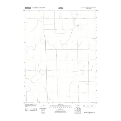
2010 Map of Buffalo Springs Ranch
USGS Topo · Published 2010About this map
Buffalo Springs Ranch sits in a high plains landscape defined by its vital water management infrastructure and a geometric grid of rural transit. The northeast corner of this 2010 map is dominated by the Buffalo Creek Reservoir, held by the Buffalo Creek Dam. This hydrological feature, along with the Twentytwo Slough in the southwest, indicates the critical role of water storage in this section of Washington County. A systematic network of gravel and dirt roads, including County Road DD and County Rd-51, creates a rigid framework across the terrain, reflecting the modern administrative organization of the Colorado prairie. The map provides a precise layout of these rural routes, which serve the agricultural operations and ranching headquarters that remain the primary footprint of human activity in this open country.
Find a feature on this map
19 named features on this map. Tap any name to fly to it.
Don’t see what you’re looking for? This feature index may not catch every label — zoom into the map to look around manually.
Map Details
Editions of this 2010 Buffalo Springs Ranch Map
This is the sole edition of this map. No revisions or reprints were ever made.
Other maps of this area

1951 · Merino SE
USGS Topo · 1:24,000

1951 · Merino
USGS Topo · 1:24,000

1954 · Sterling
USGS Topo · 1:250,000

1958 · Sterling
USGS Topo · 1:250,000

1971 · Merino
USGS Topo · 1:24,000

1973 · Akron
USGS Topo · 1:24,000

1973 · Buffalo Springs Ranch NW
USGS Topo · 1:24,000

1973 · Platner
USGS Topo · 1:24,000

1973 · Buffalo Springs Ranch NE
USGS Topo · 1:24,000

1973 · Fremont Butte
USGS Topo · 1:24,000