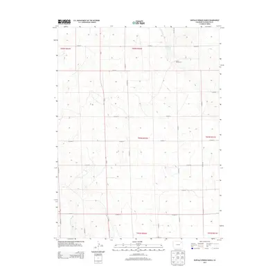
2013 Map of Buffalo Springs Ranch
USGS Topo · Published 2013About this map
Buffalo Springs Ranch serves as the central namesake landmark in this corner of Washington County, illustrating the continued significance of ranching operations in the high plains. The landscape is defined by a rigorous grid of section lines and county thoroughfares, including the long north-south axis of Co Road 63 and numerous east-west connectors like Co Road 55. Hydrological features are sparse but notable for their utility in this arid environment, specifically the Buffalo Cr Reservoir in the northeast and the drainage known as Twentytwo Slough to the southwest. This 2013 survey provides a clear view of the township and range system, showing the precise boundaries of t004n r052w and surrounding townships that organize the rural geography of eastern Colorado.
Find a feature on this map
26 named features on this map. Tap any name to fly to it.
Don’t see what you’re looking for? This feature index may not catch every label — zoom into the map to look around manually.
Map Details
Editions of this 2013 Buffalo Springs Ranch Map
This is the sole edition of this map. No revisions or reprints were ever made.
Other maps of this area

1951 · Merino SE
USGS Topo · 1:24,000

1951 · Merino
USGS Topo · 1:24,000

1954 · Sterling
USGS Topo · 1:250,000

1958 · Sterling
USGS Topo · 1:250,000

1971 · Merino
USGS Topo · 1:24,000

1973 · Akron
USGS Topo · 1:24,000

1973 · Buffalo Springs Ranch NW
USGS Topo · 1:24,000

1973 · Platner
USGS Topo · 1:24,000

1973 · Buffalo Springs Ranch NE
USGS Topo · 1:24,000

1973 · Fremont Butte
USGS Topo · 1:24,000