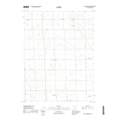
2019 Map of Buffalo Springs Ranch
USGS Topo · Published 2019About this map
Buffalo Springs Ranch serves as a primary landmark in this section of Washington County, characterized by a sparse network of county roads and intermittent water features. The local landscape is defined by the drainage of Buffalo Cr Reservoir in the north and the winding path of Twentytwo Slough in the southwest corner. The systematic organization of the high plains is evident in the grid of section lines and gravel routes, including Co Rd 55 and Co Rd 51, which facilitate travel between ranching properties. This 2019 survey documents the enduring ranching culture of the region, where named landmarks are rare but significant markers of habitation and water management in an arid environment.
Find a feature on this map
21 named features on this map. Tap any name to fly to it.
Don’t see what you’re looking for? This feature index may not catch every label — zoom into the map to look around manually.
Map Details
Editions of this 2019 Buffalo Springs Ranch Map
This is the sole edition of this map. No revisions or reprints were ever made.
Other maps of this area

1951 · Merino SE
USGS Topo · 1:24,000

1951 · Merino
USGS Topo · 1:24,000

1954 · Sterling
USGS Topo · 1:250,000

1958 · Sterling
USGS Topo · 1:250,000

1971 · Merino
USGS Topo · 1:24,000

1973 · Akron
USGS Topo · 1:24,000

1973 · Buffalo Springs Ranch NW
USGS Topo · 1:24,000

1973 · Platner
USGS Topo · 1:24,000

1973 · Buffalo Springs Ranch NE
USGS Topo · 1:24,000

1973 · Fremont Butte
USGS Topo · 1:24,000