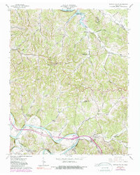
1962 Map of Buffalo Valley
USGS Topo · Published 1988About this map
The Caney Fork river and the Louisville and Nashville railroad define the southern corridor of this mid-century Tennessee landscape, where the rural crossroads of Buffalo Valley and Lancaster serve as local hubs. To the north, the terrain transitions into the backwaters of the Cordell Hull Reservoir along the Cumberland River, reflecting a period of significant hydrological change. The map reveals a dense network of community-centered landmarks, particularly churches such as Chestnut Mound Ch, Macedonia Ch, and New Salem Ch, which historically anchored the scattered hilltop and valley floor settlements. Family-named cemeteries like McKinley Cem and Huddleston Cem are distributed throughout the hollows, while institutions like Forks River Sch and Lancaster Sch provide crucial points of reference for genealogists tracking local families in Smith and Putnam counties during the early 1960s.
Find a feature on this map
86 named features on this map. Tap any name to fly to it.
Don’t see what you’re looking for? This feature index may not catch every label — zoom into the map to look around manually.
Map Details
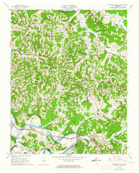
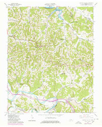
Editions of this 1962 Buffalo Valley Map
3 editions found
Other maps of this area

1925 · Gainesboro
USGS Topo · 1:62,500

1928 · Gordonsville
USGS Topo · 1:62,500

1929 · Gainesboro
USGS Topo · 1:62,500

1932 · Carthage
USGS Topo · 1:62,500

1942 · Statesville
USGS Topo · 1:100,000

1943 · Cookeville
USGS Topo · 1:100,000

1944 · Cookeville
USGS Topo · 1:100,000

1955 · Baxter
USGS Topo · 1:24,000

1956 · Silver Point
USGS Topo · 1:24,000

1956 · Corbin
USGS Topo · 1:250,000