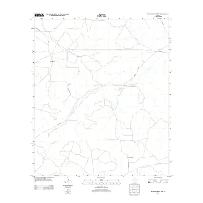
2012 Map of Buffalo Well NW
USGS Topo · Published 2012About this map
Middle Valley Prong snakes across this high-plains landscape in Schleicher County, marking a terrain defined by sprawling cattle operations and sparse rural infrastructure. The map illustrates a contemporary livestock economy where large-acreage holdings such as McIntosh Ranch, Cauthorn Ranch, and Schwiening Ranch serve as the primary landmarks. Transportation in this part of West Texas relies on a network of functional corridors, including the established Ranch Road 2596 and the historically suggestive Old Fort McKavett Rd, which hints at earlier frontier travel patterns. Water is a critical resource in this arid environment, highlighted by the naming of specific features like Twentymile Waterhole and the intermittent drainage of the Middle Valley Prong. Small private access ways, such as Private Road 2245, branch off into the interior, providing the only links to these isolated homesteads.
Find a feature on this map
18 named features on this map. Tap any name to fly to it.
Don’t see what you’re looking for? This feature index may not catch every label — zoom into the map to look around manually.
Map Details
Editions of this 2012 Buffalo Well NW Map
This is the sole edition of this map. No revisions or reprints were ever made.
Other maps of this area

1893 · Fort McKavett
USGS Topo · 1:125,000

1954 · Sonora
USGS Topo · 1:250,000

1958 · Sonora
USGS Topo · 1:250,000

1963 · Buffalo Well
USGS Topo · 1:24,000

1963 · Buffalo Well NW
USGS Topo · 1:24,000

1963 · Buffalo Well SE
USGS Topo · 1:24,000

1963 · Adams SE
USGS Topo · 1:24,000

1963 · Buffalo Well SW
USGS Topo · 1:24,000

1963 · Adams SW
USGS Topo · 1:24,000

1964 · Sonora SE
USGS Topo · 1:24,000