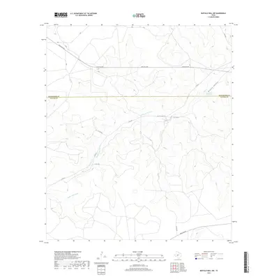
2019 Map of Buffalo Well NW
USGS Topo · Published 2019About this map
The boundary between Schleicher Co and Sutton Co cuts horizontally across this West Texas landscape, defined by the drainage of Middle Valley Prong. This arid region in the Edwards Plateau is characterized by sparse water features, such as the Twentymile Waterhole located within the broader Middle Valley. The map reveals a network of rural transit, most notably the Old Ft Mckavett Rd, a name that points to the historic military corridor connecting regional outposts. These ranching lands are serviced by several private and county thoroughfares, including Pvt Rd 2250 and Ranch Rd 2596, illustrating the large-tract land ownership patterns typical of the Texas Hill Country periphery. The terrain is deeply dissected by numerous draws and small canyons that feed into the prong, indicating a landscape shaped by intermittent water flow.
Find a feature on this map
14 named features on this map. Tap any name to fly to it.
Don’t see what you’re looking for? This feature index may not catch every label — zoom into the map to look around manually.
Map Details
Editions of this 2019 Buffalo Well NW Map
This is the sole edition of this map. No revisions or reprints were ever made.
Other maps of this area

1893 · Fort McKavett
USGS Topo · 1:125,000

1954 · Sonora
USGS Topo · 1:250,000

1958 · Sonora
USGS Topo · 1:250,000

1963 · Buffalo Well
USGS Topo · 1:24,000

1963 · Buffalo Well NW
USGS Topo · 1:24,000

1963 · Buffalo Well SE
USGS Topo · 1:24,000

1963 · Adams SE
USGS Topo · 1:24,000

1963 · Buffalo Well SW
USGS Topo · 1:24,000

1963 · Adams SW
USGS Topo · 1:24,000

1964 · Sonora SE
USGS Topo · 1:24,000