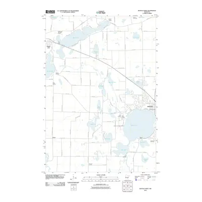
2010 Map of Buffalo West
USGS Topo · Published 2010About this map
Buffalo sits at the edge of its namesake Buffalo Lake in this 2010 topographic survey of central Wright County. The landscape is defined by its high density of glacial water bodies, from the sprawling Maple Lake and Birch Lake to the smaller basins of Abbie Lake and Sullivan Lake. Local aviation infrastructure is particularly prominent, featuring both the Maple Lake Municipal Airport and the specialized Buffalo Lake Seaplane Base.
Find a feature on this map
87 named features on this map. Tap any name to fly to it.
Don’t see what you’re looking for? This feature index may not catch every label — zoom into the map to look around manually.
Map Details
Editions of this 2010 Buffalo West Map
This is the sole edition of this map. No revisions or reprints were ever made.
Other maps of this area

1951 · Annandale
USGS Topo · 1:62,500

1953 · Saint Cloud
USGS Topo · 1:250,000

1953 · Stillwater
USGS Topo · 1:250,000

1955 · Stillwater
USGS Topo · 1:250,000

1957 · Saint Cloud
USGS Topo · 1:250,000

1958 · Stillwater
USGS Topo · 1:250,000

1958 · Saint Cloud
USGS Topo · 1:250,000

1958 · Buffalo
USGS Topo · 1:62,500

1958 · Cokato
USGS Topo · 1:62,500

1961 · Silver Creek
USGS Topo · 1:24,000