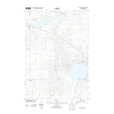
2013 Map of Buffalo West
USGS Topo · Published 2013About this map
Buffalo and the surrounding Wright County lakelands are defined by an intricate network of water bodies and rural homesteads in this 2013 study. The settlement pattern is anchored by Maple Lake in the northwest and the western reaches of the city of Buffalo in the east, connected by the corridor of MN-55. Local history is preserved across several denominational burial grounds, including Saint Charles Cem, Old Saint Timothy Cem, and Saint Francis Cem, reflecting the area's early parish-based communities. The landscape transitions from the developed shores of Buffalo Lake to agricultural features like the Rolling Hills Orchard and Deer Lake Orchard. Aviation and recreation also shape the modern landscape, with the Maple Lake Municipal Airport positioned north of town and the Wild Marsh Golf Course situated near Mink Lake, showing how the region’s traditional farming roots have integrated with contemporary land uses.
Find a feature on this map
92 named features on this map. Tap any name to fly to it.
Don’t see what you’re looking for? This feature index may not catch every label — zoom into the map to look around manually.
Map Details
Editions of this 2013 Buffalo West Map
This is the sole edition of this map. No revisions or reprints were ever made.
Other maps of this area

1951 · Annandale
USGS Topo · 1:62,500

1953 · Saint Cloud
USGS Topo · 1:250,000

1953 · Stillwater
USGS Topo · 1:250,000

1955 · Stillwater
USGS Topo · 1:250,000

1957 · Saint Cloud
USGS Topo · 1:250,000

1958 · Stillwater
USGS Topo · 1:250,000

1958 · Saint Cloud
USGS Topo · 1:250,000

1958 · Buffalo
USGS Topo · 1:62,500

1958 · Cokato
USGS Topo · 1:62,500

1961 · Silver Creek
USGS Topo · 1:24,000