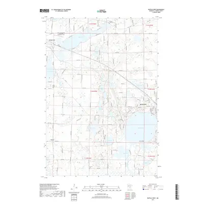
2019 Map of Buffalo West
USGS Topo · Published 2019About this map
Glacial lakes and small-town expansion define this landscape in Wright County. The city of Buffalo occupies the eastern edge of the sheet, centered near the sprawling Buffalo Lake, while the village of Maple Lake anchors the northwest corner. This area serves as a primary hub for local aviation at the Maple Lake Municipal Airport-Bill Mavencamp Sr Field.
Find a feature on this map
126 named features on this map. Tap any name to fly to it.
Don’t see what you’re looking for? This feature index may not catch every label — zoom into the map to look around manually.
Map Details
Editions of this 2019 Buffalo West Map
This is the sole edition of this map. No revisions or reprints were ever made.
Other maps of this area

1951 · Annandale
USGS Topo · 1:62,500

1953 · Saint Cloud
USGS Topo · 1:250,000

1953 · Stillwater
USGS Topo · 1:250,000

1955 · Stillwater
USGS Topo · 1:250,000

1957 · Saint Cloud
USGS Topo · 1:250,000

1958 · Stillwater
USGS Topo · 1:250,000

1958 · Saint Cloud
USGS Topo · 1:250,000

1958 · Buffalo
USGS Topo · 1:62,500

1958 · Cokato
USGS Topo · 1:62,500

1961 · Silver Creek
USGS Topo · 1:24,000