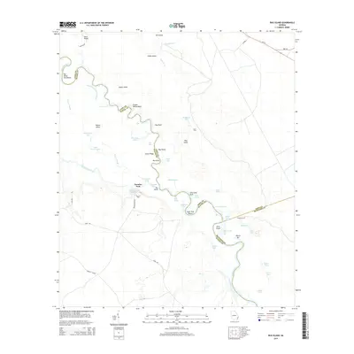
2014 Map of Bug Island
USGS Topo · Published 2014About this map
The Altamaha River winds through a complex network of wetlands and riverine features where Long, Wayne, and McIntosh Counties meet. This 2014 survey details the intricate hydrology of the floodplain, characterized by numerous sloughs, lakes, and named bends. Local history and river culture are evident in the naming of specific river reaches and landmarks such as Sturgeon Hole, John Lane Drift, and Sister Pine Round.
Find a feature on this map
64 named features on this map. Tap any name to fly to it.
Don’t see what you’re looking for? This feature index may not catch every label — zoom into the map to look around manually.
Map Details
Editions of this 2014 Bug Island Map
This is the sole edition of this map. No revisions or reprints were ever made.
Other maps of this area

1918 · Jesup
USGS Topo · 1:62,500

1918 · Hortense
USGS Topo · 1:62,500

1918 · Everett City
USGS Topo · 1:62,500

1920 · Everett City
USGS Topo · 1:62,500

1943 · Ludowici
USGS Topo · 1:62,500

1943 · Jesup
USGS Topo · 1:62,500

1944 · Everett City
USGS Topo · 1:62,500

1944 · Hortense
USGS Topo · 1:62,500

1946 · Brunswick
USGS Topo · 1:250,000

1948 · Brunswick
USGS Topo · 1:250,000