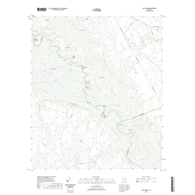
2020 Map of Bug Island
USGS Topo · Published 2020About this map
The Altamaha River winds through a dense network of bottomland swamps and riverine islands at the border of Long and Wayne Counties. This 2020 survey illustrates a complex riparian environment where the main channel is defined by prominent landings and overlooks like Double Yellow Bluff and Bug Bluff. The landscape is dominated by seasonal water bodies and named river features such as Bug Island, Steamboat Slough, and the uniquely named Old Hell Bight.
Find a feature on this map
68 named features on this map. Tap any name to fly to it.
Don’t see what you’re looking for? This feature index may not catch every label — zoom into the map to look around manually.
Map Details
Editions of this 2020 Bug Island Map
This is the sole edition of this map. No revisions or reprints were ever made.
Other maps of this area

1918 · Jesup
USGS Topo · 1:62,500

1918 · Hortense
USGS Topo · 1:62,500

1918 · Everett City
USGS Topo · 1:62,500

1920 · Everett City
USGS Topo · 1:62,500

1943 · Ludowici
USGS Topo · 1:62,500

1943 · Jesup
USGS Topo · 1:62,500

1944 · Everett City
USGS Topo · 1:62,500

1944 · Hortense
USGS Topo · 1:62,500

1946 · Brunswick
USGS Topo · 1:250,000

1948 · Brunswick
USGS Topo · 1:250,000