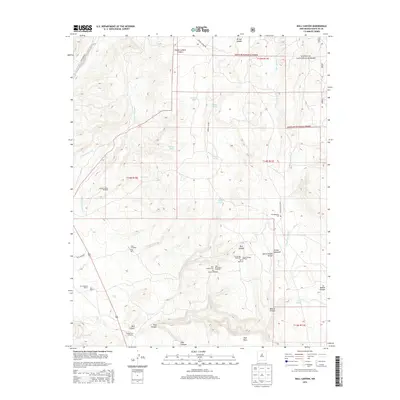
2013 Map of Bull Canyon
USGS Topo · Published 2013About this map
Santa Fe National Forest lands dominate the northern reaches of this high-desert landscape, where deep drainages like Piedra Lumbre Canyon and Arroyo Salado carve through the terrain. The presence of San Miguelito Cem and Ojo de la Vaca Cem highlights the enduring cultural footprint of the region, anchored by the long-established San Cristobal Ranch and the nearby Pueblo San Cristobal. This 2013 survey records a network of vital water sources including the Ojo de la Vaca and Ojo Abajeños, as well as numerous windmills and tanks like the Piedra Lumbre Windmill and Isaque Tank that support ranching operations in this arid environment. The map shows the transition from the timbered heights of Pine Mesa down through Bull Canyon and Bobcat Canyon, revealing a landscape shaped by both natural erosion and centuries of human habitation and land use.
Find a feature on this map
44 named features on this map. Tap any name to fly to it.
Don’t see what you’re looking for? This feature index may not catch every label — zoom into the map to look around manually.
Map Details
Editions of this 2013 Bull Canyon Map
This is the sole edition of this map. No revisions or reprints were ever made.
Other maps of this area

1889 · Santa Fe
USGS Topo · 1:125,000

1894 · Santa Fe
USGS Topo · 1:125,000

1894 · Lamy
USGS Topo · 1:125,000

1952 · Seton Village
USGS Topo · 1:24,000

1953 · Glorieta
USGS Topo · 1:24,000

1954 · Santa Fe
USGS Topo · 1:250,000

1958 · Santa Fe
USGS Topo · 1:250,000
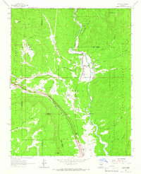
1961 · Pecos
USGS Topo · 1:24,000
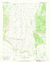
1966 · Ojo Hedionda
USGS Topo · 1:24,000
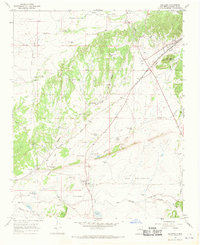
1966 · Galisteo
USGS Topo · 1:24,000