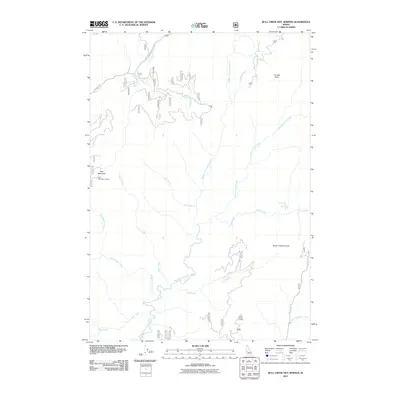
2011 Map of Bull Creek Hot Springs
USGS Topo · Published 2011About this map
The Middle Fork Payette River serves as the central drainage for this section of the Boise National Forest area in Valley County. This 2011 survey documents a high-elevation landscape defined by significant peaks and drainage basins, including the notable Bull Creek Hot Springs located along Bull Creek. The map provides detailed placement for fire management infrastructure, identifying the East Mountain Lookout on the western ridge and the Silver Creek Lookout to the southeast.
Find a feature on this map
46 named features on this map. Tap any name to fly to it.
Don’t see what you’re looking for? This feature index may not catch every label — zoom into the map to look around manually.
Map Details
Editions of this 2011 Bull Creek Hot Springs Map
This is the sole edition of this map. No revisions or reprints were ever made.
Other maps of this area

1909 · Garden Valley
USGS Topo · 1:125,000

1953 · Boiling Springs
USGS Topo · 1:62,500

1953 · Deadwood Reservoir
USGS Topo · 1:62,500

1954 · Gold Fork
USGS Topo · 1:62,500

1954 · Warm Lake
USGS Topo · 1:62,500

1957 · Challis
USGS Topo · 1:250,000

1960 · Challis
USGS Topo · 1:250,000

1963 · Challis
USGS Topo · 1:250,000

1982 · Pistol Creek
USGS Topo · 1:100,000

1982 · Deadwood River
USGS Topo · 1:100,000