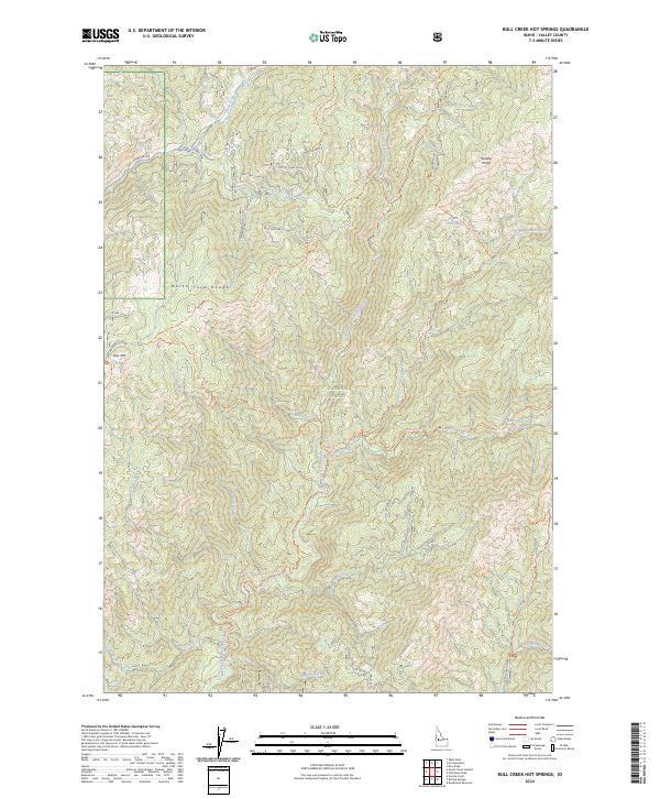
2024 Map of Bull Creek Hot Springs
USGS Topo · Published 2024About this map
Boise National Forest dominates this mountain landscape, defined by the sharp elevations of the North Fork Range and East Mtn. This high-altitude terrain in the modern era remains largely wild, centered around the drainage of the Middle Fork Payette River. A network of backcountry trails, including the Middle Fork Payette River Trl and Bull Creek Trl, provides the primary means of navigating the steep canyons and ridges. The map highlights specific natural features like Bull Creek Hot Springs and the East Mountain Spring, which serve as critical landmarks in this primitive environment. Notable peaks such as Eureka Point and the Silver Creek Summit anchor the topography, reflecting a landscape that has changed little in its fundamental character since the establishment of the forest reserve.
Find a feature on this map
55 named features on this map. Tap any name to fly to it.
Don’t see what you’re looking for? This feature index may not catch every label — zoom into the map to look around manually.
Map Details
Editions of this 2024 Bull Creek Hot Springs Map
This is the sole edition of this map. No revisions or reprints were ever made.
Other maps of this area

1909 · Garden Valley
USGS Topo · 1:125,000

1953 · Boiling Springs
USGS Topo · 1:62,500

1953 · Deadwood Reservoir
USGS Topo · 1:62,500

1954 · Gold Fork
USGS Topo · 1:62,500

1954 · Warm Lake
USGS Topo · 1:62,500

1957 · Challis
USGS Topo · 1:250,000

1960 · Challis
USGS Topo · 1:250,000

1963 · Challis
USGS Topo · 1:250,000

1982 · Pistol Creek
USGS Topo · 1:100,000

1982 · Deadwood River
USGS Topo · 1:100,000