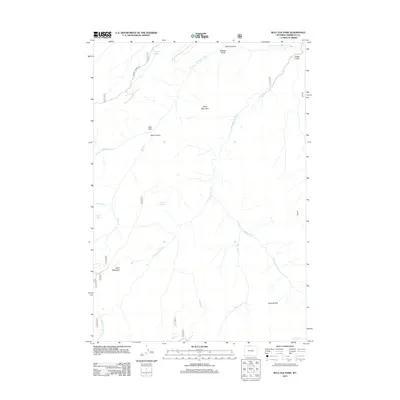
2012 Map of Bull Elk Park
USGS Topo · Published 2012About this map
The Little Bighorn River and its numerous tributaries dominate this high-altitude landscape in the Bighorn Mountains. The hydrology of the area is exceptionally detailed, showing the convergence of the W Fork Little Bighorn River and the Dry Fork Little Bighorn River, alongside named mountain springs like Willow Spring and Bear Spring. The terrain is defined by dramatic elevation shifts, from the depths of Dark Canyon and Short Canyon to the summits of Fisher Mountain and Leaky Mountain.
Find a feature on this map
23 named features on this map. Tap any name to fly to it.
Don’t see what you’re looking for? This feature index may not catch every label — zoom into the map to look around manually.
Map Details
Editions of this 2012 Bull Elk Park Map
This is the sole edition of this map. No revisions or reprints were ever made.
Other maps of this area

1894 · St. Xavier
USGS Topo · 1:125,000

1898 · Bald Mountain
USGS Topo · 1:125,000

1901 · St. Xavier
USGS Topo · 1:125,000

1901 · Bald Mountain
USGS Topo · 1:125,000

1954 · Hardin
USGS Topo · 1:250,000

1955 · Sheridan
USGS Topo · 1:250,000

1957 · Hardin
USGS Topo · 1:250,000

1958 · Hardin
USGS Topo · 1:250,000

1958 · Sheridan
USGS Topo · 1:250,000

1960 · Boyd Ridge
USGS Topo · 1:24,000