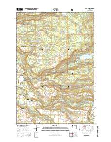
2014 Map of Bull Run
USGS Topo · Published 2014About this map
The Sandy area and the foothills of the Mount Hood National Forest are defined by the convergence of several major water systems. The Sandy River and Little Sandy River carve through the landscape, joined by the Bull Run River, which feeds into the Bull Run Reservoir Number Two. This watershed is critical to the region, and the map shows the transition from the concentrated residential development in the city of Sandy and the community of Firwood to the more dispersed settlements of Aims and Bull Run.
Find a feature on this map
107 named features on this map. Tap any name to fly to it.
Don’t see what you’re looking for? This feature index may not catch every label — zoom into the map to look around manually.
Map Details
Editions of this 2014 Bull Run Map
This is the sole edition of this map. No revisions or reprints were ever made.
Other maps of this area

1911 · Boring
USGS Topo · 1:48,000

1914 · Boring
USGS Topo · 1:62,500

1916 · Estacada
USGS Topo · 1:125,000

1918 · Troutdale
USGS Topo · 1:62,500

1934 · Troutdale
USGS Topo · 1:48,000

1940 · Boring
USGS Topo · 1:62,500

1941 · Camas
USGS Topo · 1:62,500

1942 · Camas
USGS Topo · 1:62,500

1948 · Vancouver
USGS Topo · 1:250,000

1950 · Vancouver
USGS Topo · 1:250,000