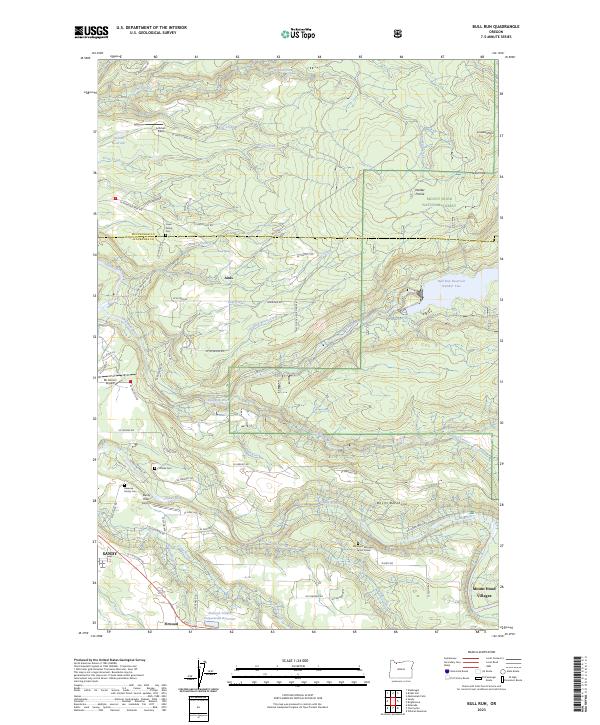
2023 Map of Bull Run
USGS Topo · Published 2023About this map
Mount Hood National Forest and the upper reaches of the Sandy River define the terrain of this northeastern Clackamas County area. The map highlights a landscape deeply tied to the regional water supply, anchored by Bull Run Reservoir Number Two and the Bull Run River, while the southern portion transitions into the agricultural and residential outskirts of Sandy. Local history is preserved through several family-named burial sites, including the Lowe Family Cem, Revenue Family Cem, and the Cliffside Cem. The presence of the Eldridge J Broussard Junior Grave near the Sandy River further emphasizes the personal history etched into this forest landscape. Aviation also marks the area, with small facilities like Mc Kinnon Airpark and the Sandy River Airport serving rural communities such as Aims and Firwood. This modern survey illustrates the balance between protected wilderness, essential water infrastructure, and the persistent legacy of early family landholdings.
Find a feature on this map
77 named features on this map. Tap any name to fly to it.
Don’t see what you’re looking for? This feature index may not catch every label — zoom into the map to look around manually.
Map Details
Editions of this 2023 Bull Run Map
This is the sole edition of this map. No revisions or reprints were ever made.
Other maps of this area

1911 · Boring
USGS Topo · 1:48,000

1914 · Boring
USGS Topo · 1:62,500

1916 · Estacada
USGS Topo · 1:125,000

1918 · Troutdale
USGS Topo · 1:62,500

1934 · Troutdale
USGS Topo · 1:48,000

1940 · Boring
USGS Topo · 1:62,500

1941 · Camas
USGS Topo · 1:62,500

1942 · Camas
USGS Topo · 1:62,500

1948 · Vancouver
USGS Topo · 1:250,000

1950 · Vancouver
USGS Topo · 1:250,000