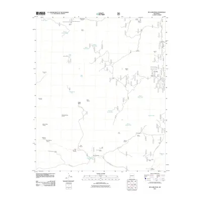
2011 Map of Bullard Peak
USGS Topo · Published 2011About this map
The Hidalgo Smelter and several dispersed mining operations define this arid Grant County landscape. In the northern reaches, prospecting history is visible through the German Mine Number 1 and German Mine Number 2, while the eastern terrain contains the Alhambra Mine and Morning Star Group. The reliance on intermittent water sources in this cattle-ranching environment is evident by the high density of corrals and tanks, including the Saddle Corral and Little Rough Tank.
Find a feature on this map
56 named features on this map. Tap any name to fly to it.
Don’t see what you’re looking for? This feature index may not catch every label — zoom into the map to look around manually.
Map Details
Editions of this 2011 Bullard Peak Map
This is the sole edition of this map. No revisions or reprints were ever made.
Other maps of this area

1909 · Silver City
USGS Topo · 1:125,000

1949 · Circle Mesa
USGS Topo · 1:24,000

1950 · Wind Mountain
USGS Topo · 1:24,000

1950 · Burro Peak
USGS Topo · 1:24,000

1951 · Circle Mesa
USGS Topo · 1:24,000

1951 · Big Burro Mountains
USGS Topo · 1:24,000

1951 · Wind Mountain
USGS Topo · 1:24,000

1954 · Silver City
USGS Topo · 1:250,000

1958 · Silver City
USGS Topo · 1:250,000

1959 · Redrock
USGS Topo · 1:62,500