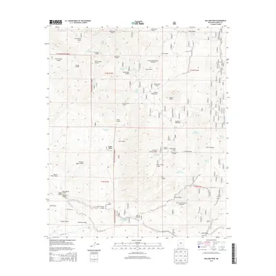
2013 Map of Bullard Peak
USGS Topo · Published 2013About this map
Edgal Place serves as a lone named settlement amidst the high-desert terrain of the Gila National Forest in this 2013 survey. The landscape is dominated by the Big Burro Mountains, anchored by the prominent Bullard Peak. This area is characterized by a complex network of canyons and arroyos, including the aptly named Kelly Chimney Canyon and Black Hawk Canyon.
Find a feature on this map
55 named features on this map. Tap any name to fly to it.
Don’t see what you’re looking for? This feature index may not catch every label — zoom into the map to look around manually.
Map Details
Editions of this 2013 Bullard Peak Map
This is the sole edition of this map. No revisions or reprints were ever made.
Other maps of this area

1909 · Silver City
USGS Topo · 1:125,000

1949 · Circle Mesa
USGS Topo · 1:24,000

1950 · Wind Mountain
USGS Topo · 1:24,000

1950 · Burro Peak
USGS Topo · 1:24,000

1951 · Circle Mesa
USGS Topo · 1:24,000

1951 · Big Burro Mountains
USGS Topo · 1:24,000

1951 · Wind Mountain
USGS Topo · 1:24,000

1954 · Silver City
USGS Topo · 1:250,000

1958 · Silver City
USGS Topo · 1:250,000

1959 · Redrock
USGS Topo · 1:62,500