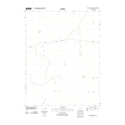
2011 Map of Bullgrass Knoll
USGS Topo · Published 2011About this map
Bullgrass Knoll and the Confusion Range dominate this interior landscape of Millard County, where a network of drainages and canyons defines the desert floor. The map highlights the isolation of this high desert region, punctuated by evocative landform names such as Horse Heaven and Little Horse Heaven. Travel through this portion of the Great Basin is concentrated along a single primary route that traverses Kings Canyon, following the natural passage between the elevated ranges. These geological features are joined by several smaller ravines including Cat Canyon, Blackham Canyon, and Arms Canyon, which feed into the broader Tule Valley to the northeast. The presence of Road Canyon and King Cove further illustrates how early travelers and surveyors used the natural contours of the Confusion Range to navigate this arid environment.
Find a feature on this map
13 named features on this map. Tap any name to fly to it.
Don’t see what you’re looking for? This feature index may not catch every label — zoom into the map to look around manually.
Map Details
Editions of this 2011 Bullgrass Knoll Map
This is the sole edition of this map. No revisions or reprints were ever made.
Other maps of this area

1908 · Fish Springs
USGS Topo · 1:250,000

1910 · Fish Springs
USGS Topo · 1:250,000

1953 · Richfield
USGS Topo · 1:250,000

1953 · Delta
USGS Topo · 1:250,000

1958 · Richfield
USGS Topo · 1:250,000

1958 · Delta
USGS Topo · 1:250,000

1960 · Notch Peak
USGS Topo · 1:62,500

1960 · Crystal Peak
USGS Topo · 1:62,500

1960 · Conger Mountain
USGS Topo · 1:62,500

1960 · The Barn
USGS Topo · 1:62,500