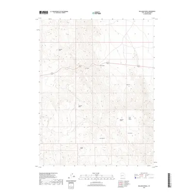
2020 Map of Bullgrass Knoll
USGS Topo · Published 2020About this map
The Confusion Range dominates this portion of Millard County, where high desert elevations create a complex system of drainage and named topographic basins. Modern transportation is limited to the corridor of 6 50, which winds through the central terrain, passing between the northern heights of Bullgrass Knoll and the southern reaches of Cat Canyon. The map reveals a landscape defined by significant natural landmarks, such as Kings Canyon and the secluded King Cove. To the southeast, the topography softens into the distinctively named Little Horse Heaven and Horse Heaven, areas carved by Blackham Canyon and Arms Canyon. These labels suggest a history of grazing or seasonal movement through the canyons, providing a detailed look at the geographic orientation of this remote Utah territory as it appeared in 2020.
Find a feature on this map
11 named features on this map. Tap any name to fly to it.
Don’t see what you’re looking for? This feature index may not catch every label — zoom into the map to look around manually.
Map Details
Editions of this 2020 Bullgrass Knoll Map
This is the sole edition of this map. No revisions or reprints were ever made.
Other maps of this area

1908 · Fish Springs
USGS Topo · 1:250,000

1910 · Fish Springs
USGS Topo · 1:250,000

1953 · Richfield
USGS Topo · 1:250,000

1953 · Delta
USGS Topo · 1:250,000

1958 · Richfield
USGS Topo · 1:250,000

1958 · Delta
USGS Topo · 1:250,000

1960 · Notch Peak
USGS Topo · 1:62,500

1960 · Crystal Peak
USGS Topo · 1:62,500

1960 · Conger Mountain
USGS Topo · 1:62,500

1960 · The Barn
USGS Topo · 1:62,500