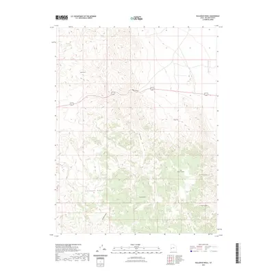
2023 Map of Bullgrass Knoll
USGS Topo · Published 2023About this map
The high desert terrain of the Confusion Range dominates this Millard County landscape, where deep drainages like Cat Canyon and Jackson Canyon carve through the arid uplands. This area is defined by its topographic extremes, ranging from the open expanse of Tule Valley to the elevated isolation of Horse Heaven. The primary corridor for travel remains the combined route of US Route 6 and US Route 50, which cuts through the northern portion of the map, providing the only paved access across this portion of the Great Basin. Local landmarks such as Bullgrass Knoll and Blackham Canyon offer specific points of orientation within a vast network of ridges and dry washes. The lack of permanent water sources or settlements reflects the challenging environmental conditions that have long dictated land use in this part of western Utah.
Find a feature on this map
9 named features on this map. Tap any name to fly to it.
Don’t see what you’re looking for? This feature index may not catch every label — zoom into the map to look around manually.
Map Details
Editions of this 2023 Bullgrass Knoll Map
This is the sole edition of this map. No revisions or reprints were ever made.
Other maps of this area

1908 · Fish Springs
USGS Topo · 1:250,000

1910 · Fish Springs
USGS Topo · 1:250,000

1953 · Richfield
USGS Topo · 1:250,000

1953 · Delta
USGS Topo · 1:250,000

1958 · Richfield
USGS Topo · 1:250,000

1958 · Delta
USGS Topo · 1:250,000

1960 · Notch Peak
USGS Topo · 1:62,500

1960 · Crystal Peak
USGS Topo · 1:62,500

1960 · Conger Mountain
USGS Topo · 1:62,500

1960 · The Barn
USGS Topo · 1:62,500